


Brienz Rothorn

LaurentGILG
User
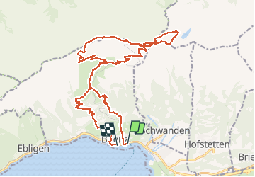

Length
28 km

Max alt
2324 m

Uphill gradient
2307 m
Km-Effort
59 km

Min alt
564 m

Downhill gradient
2313 m
Boucle
No
Creation date :
2020-07-25 06:48:48.298
Updated on :
2020-07-25 17:13:48.461
7h14
Difficulty : Very difficult

FREE GPS app for hiking
 SityTrail
IGN / Geographical institutes
SityTrail Plus
The world is yours!
About
Trail Walking of 28 km to be discovered at Bern, Interlaken-Oberhasli administrative district, Brienz (BE). This trail is proposed by LaurentGILG.
Positioning
Country:
Switzerland
Region :
Bern
Department/Province :
Interlaken-Oberhasli administrative district
Municipality :
Brienz (BE)
Location:
Unknown
Start:(Dec)
Start:(UTM)
426443 ; 5178339 (32T) N.
Comments